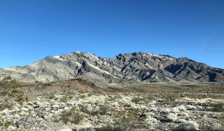
Death Valley is the largest national park outside Alaska. It doesn’t seem that way to the casual visitor, since over 90% of the park is wilderness. Despite the name, portions of the park are quite mountainous, with the highest point, Telescope Peak, at over 11,000 feet.

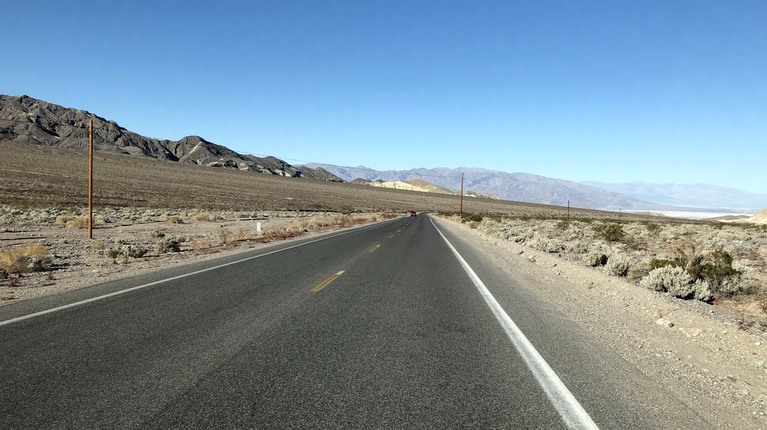
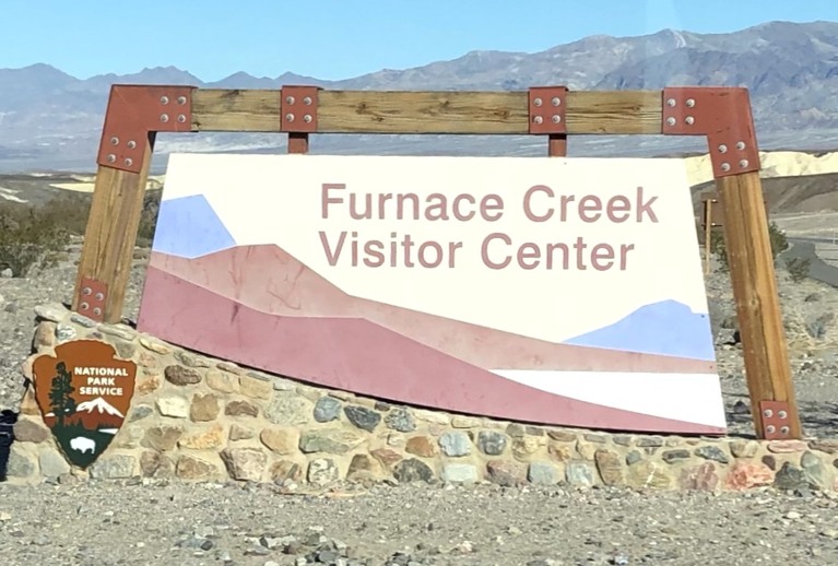
We entered the park at Death Valley Junction and drove to the visitor center at Furnace Creek. The scenery is spectacular. On the way, we dropped in elevation from about 3000 feet to -190 feet. The whole area has an other-world like feel. In fact, parts of Tatooine (see: Star Wars) were filmed here.
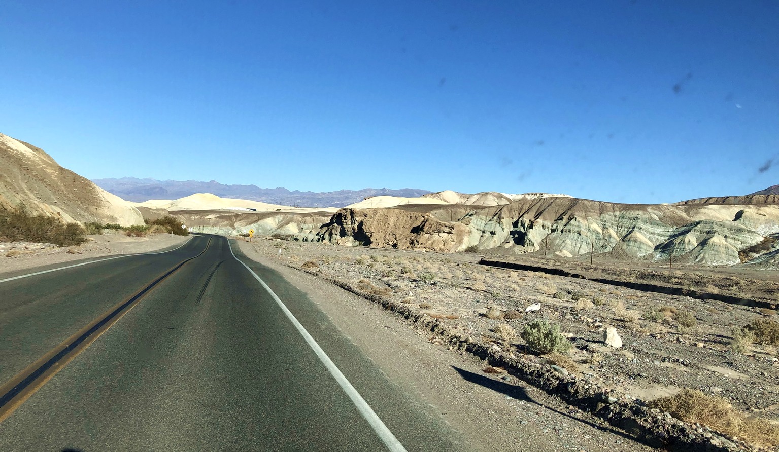
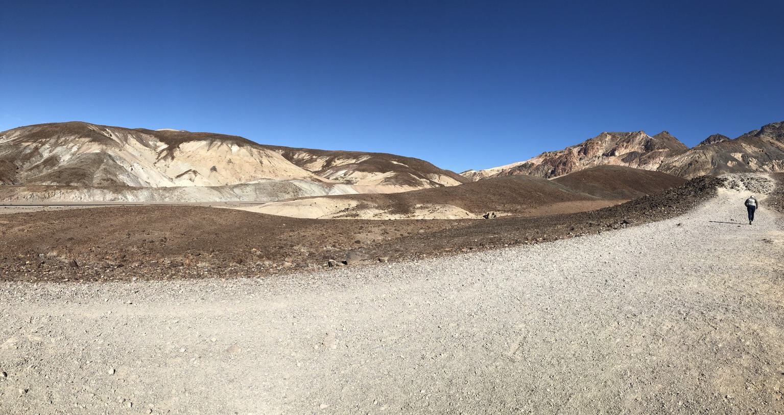
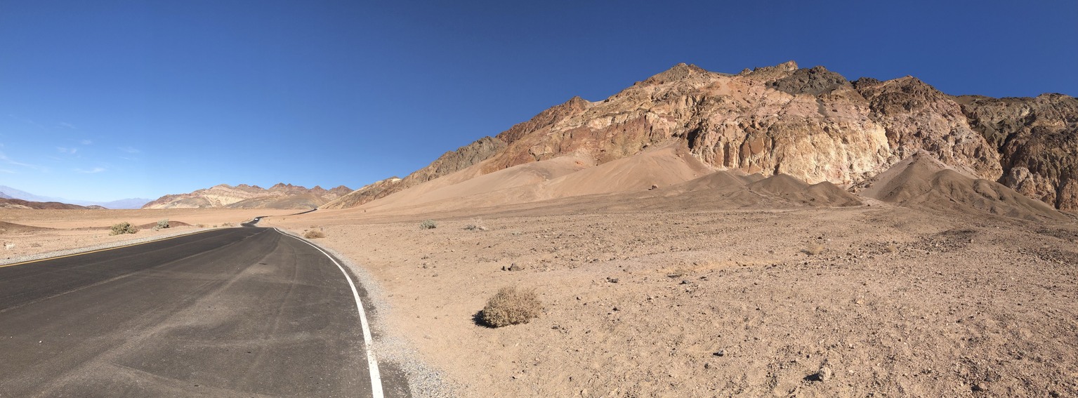
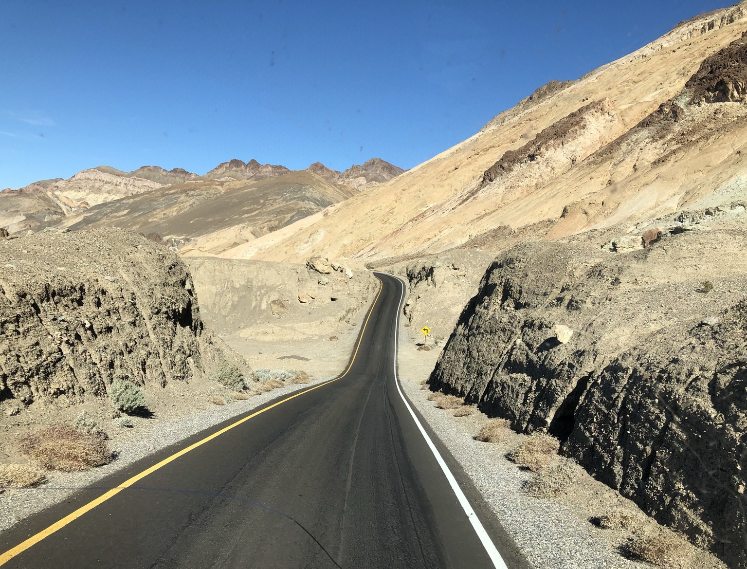
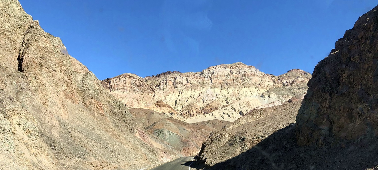
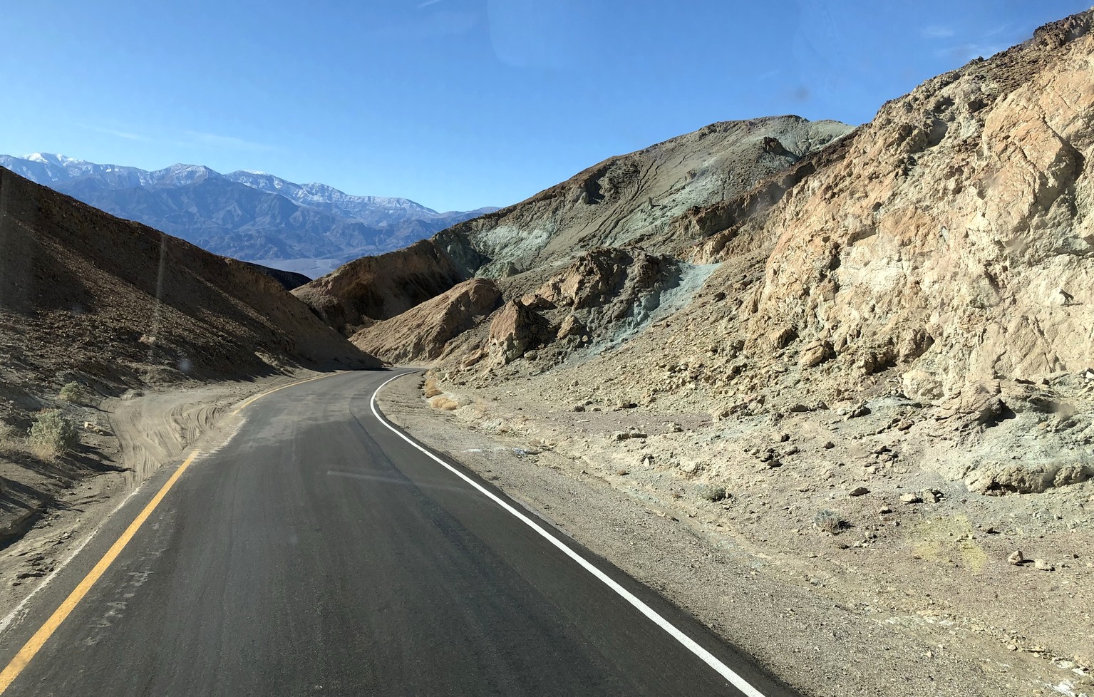
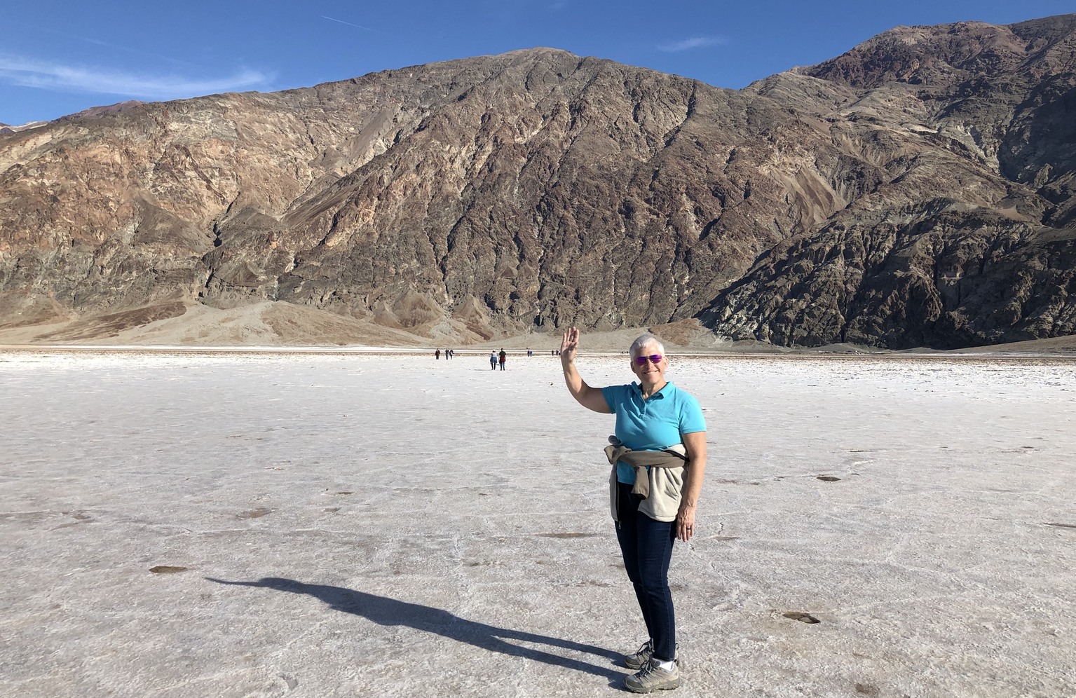
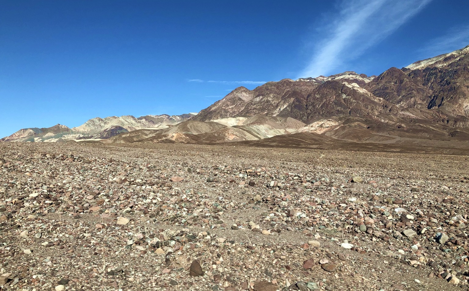
After securing a campsite, we decided to drive to Badwater Basin. On the way, we turned off at Artists Drive to view the colorful hills. The road is restricted to vehicles no longer than 25 feet. It featured lots of tight turns around the hills and two hair raising dips at canyons. It’s a good thing the speed limit is 25 mph!
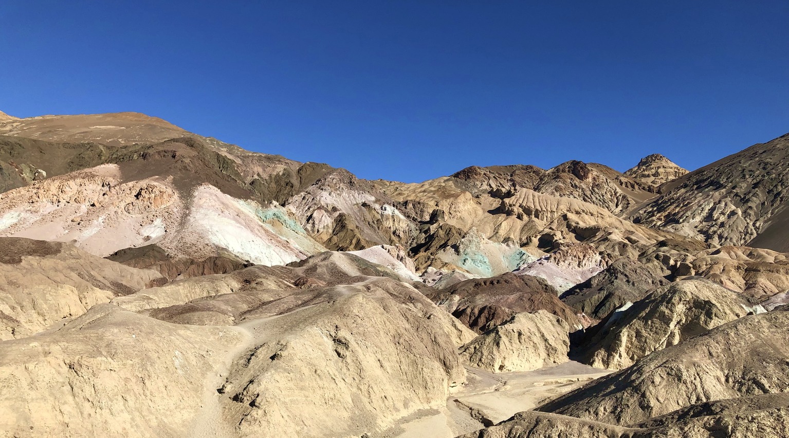
The formation called Artists Palette is the most colorful spot.

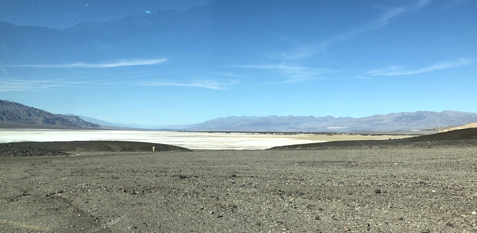
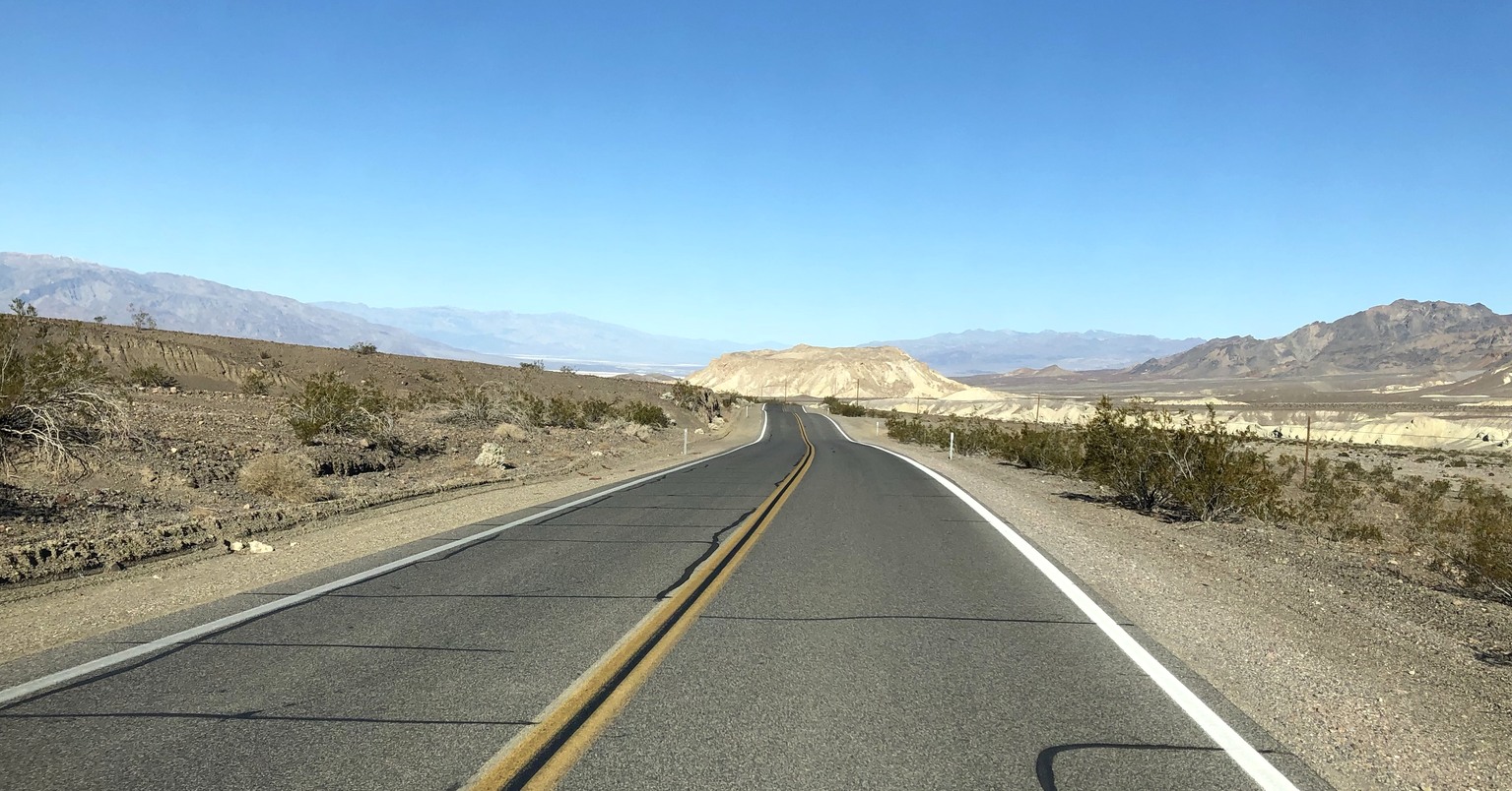
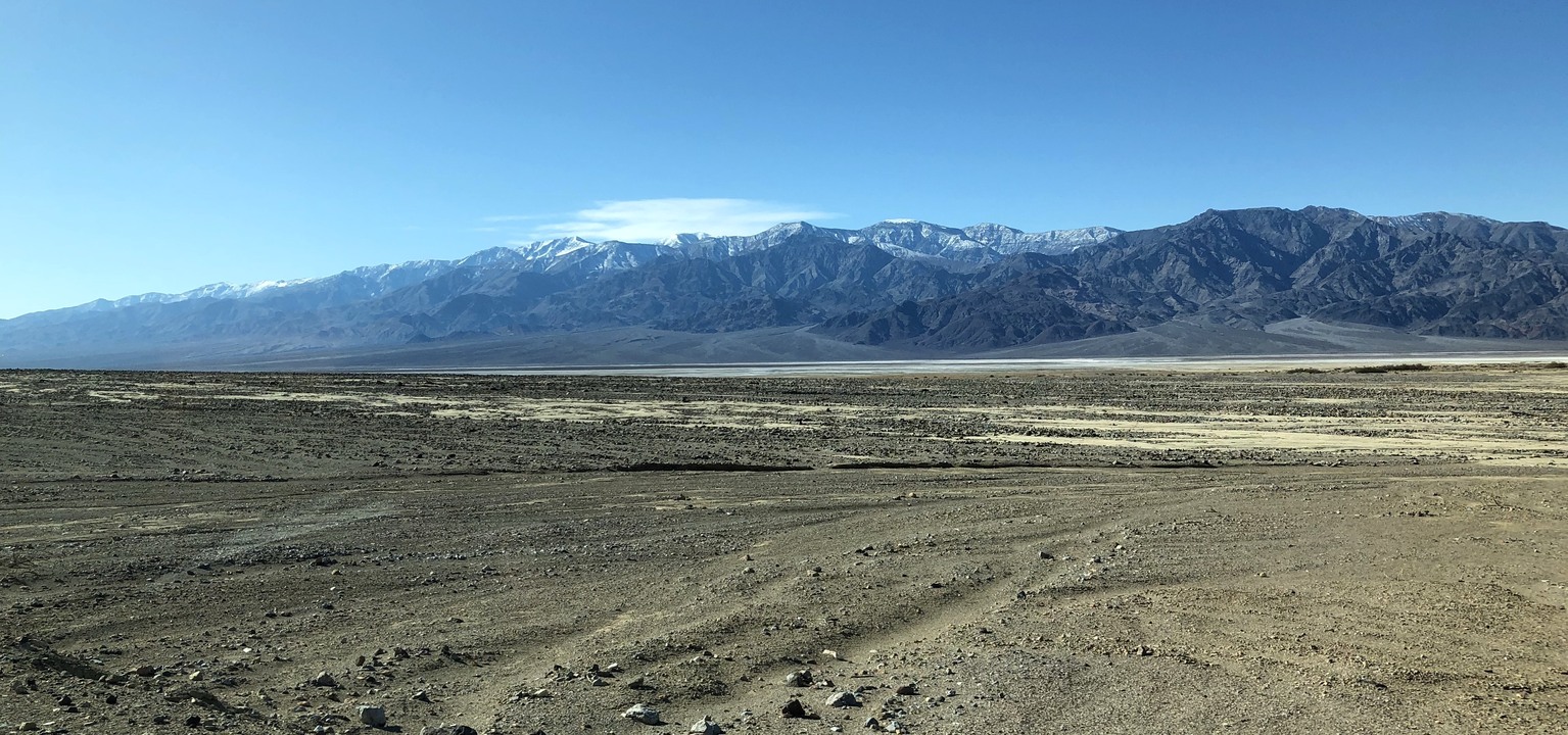
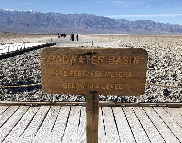
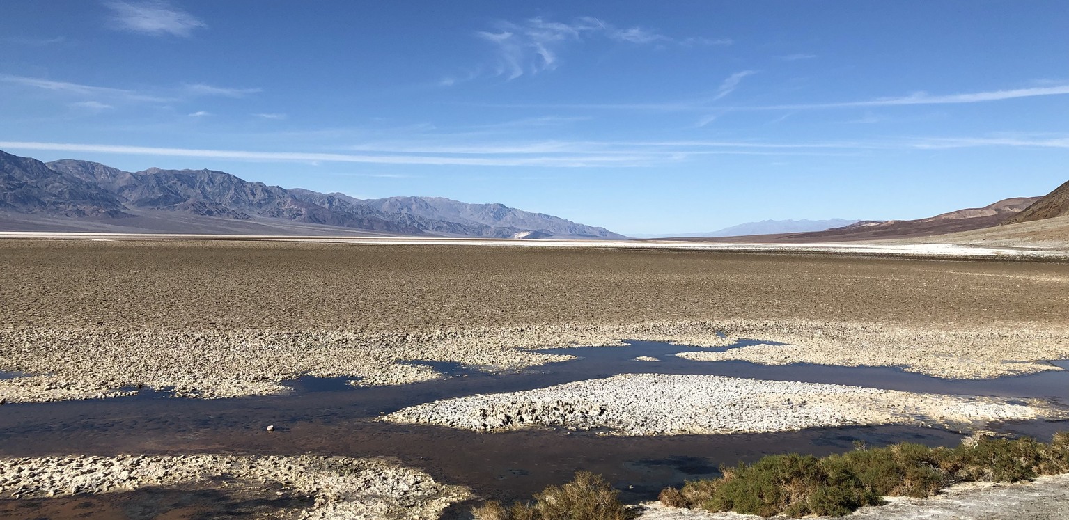
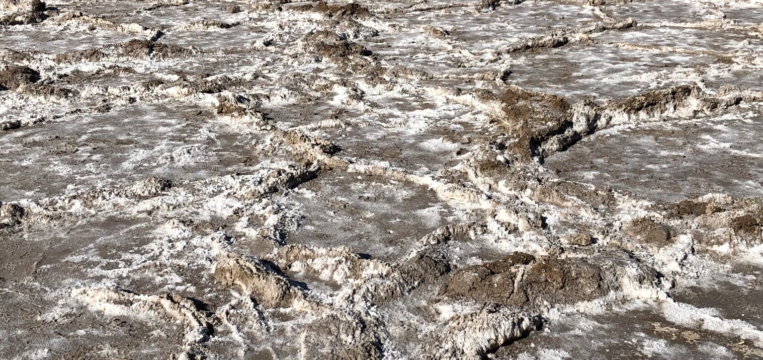
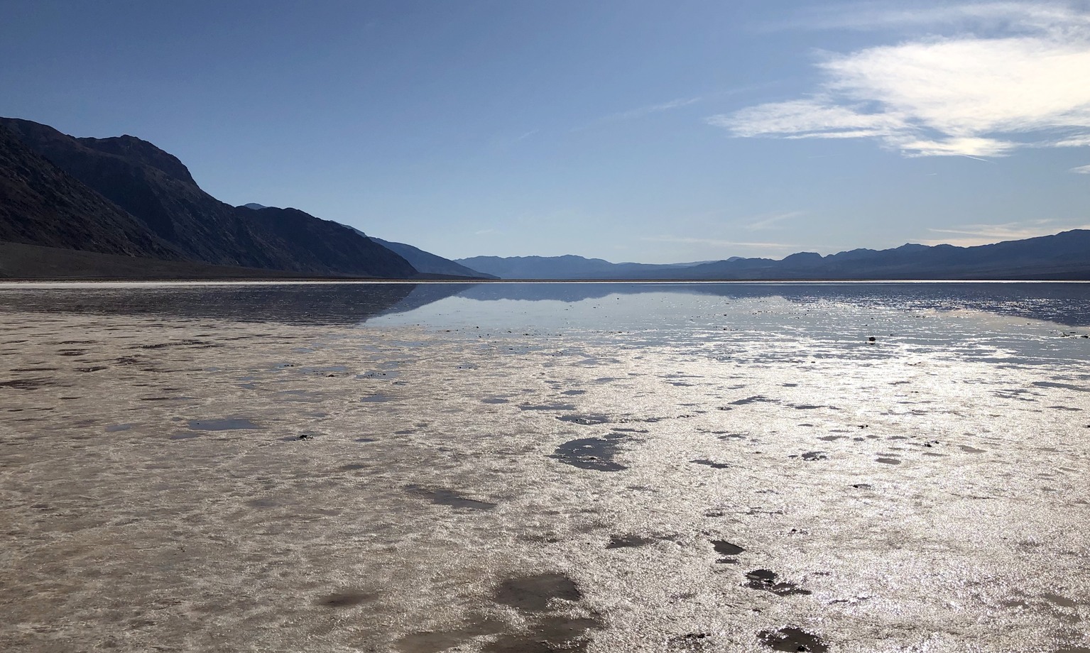
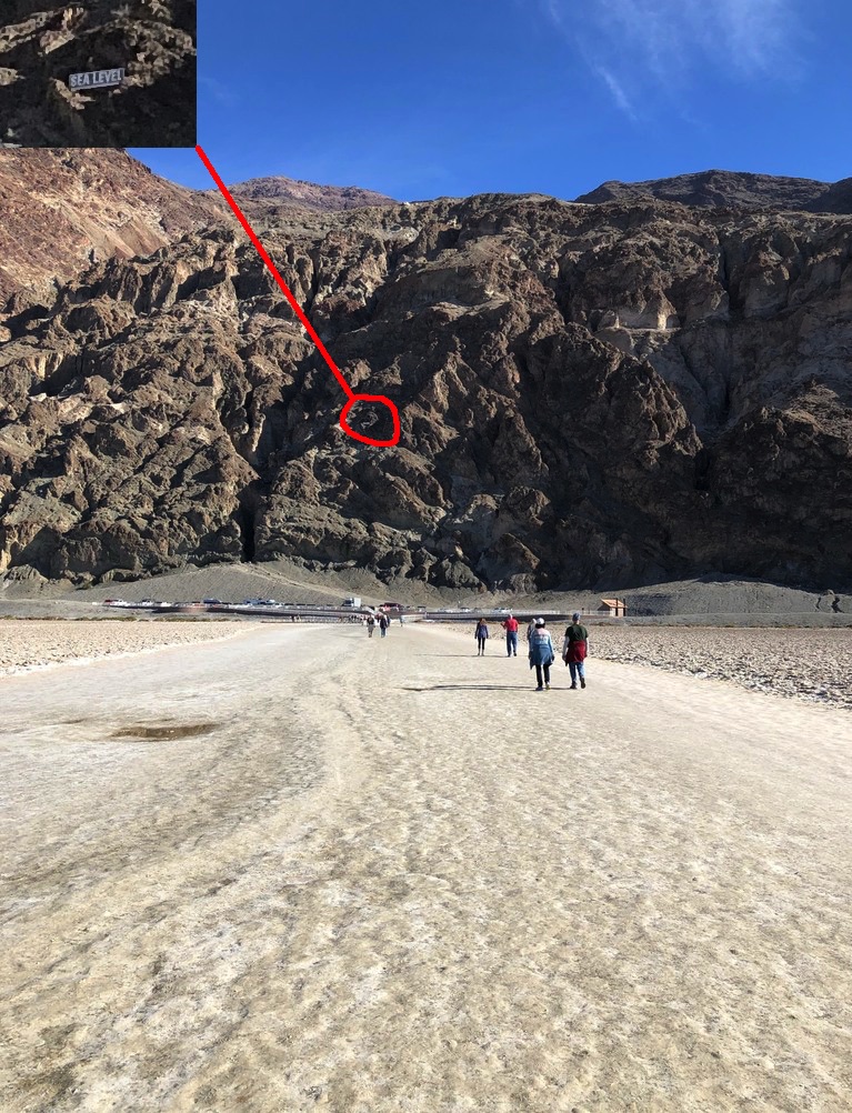
Much of the valley appears to be a salt flat. Badwater basin, the lowest spot in North America at -282 feet, was our next stop. The ground is damp and the salt forms large shapes on the surface. There is a lake at the bottom of the basin, slowly evaporating. Lore is that the name was bestowed by a prospector who couldn’t get his mule to drink the water. The park has posted a sign at sea level to give tourists a better sense of the depth.
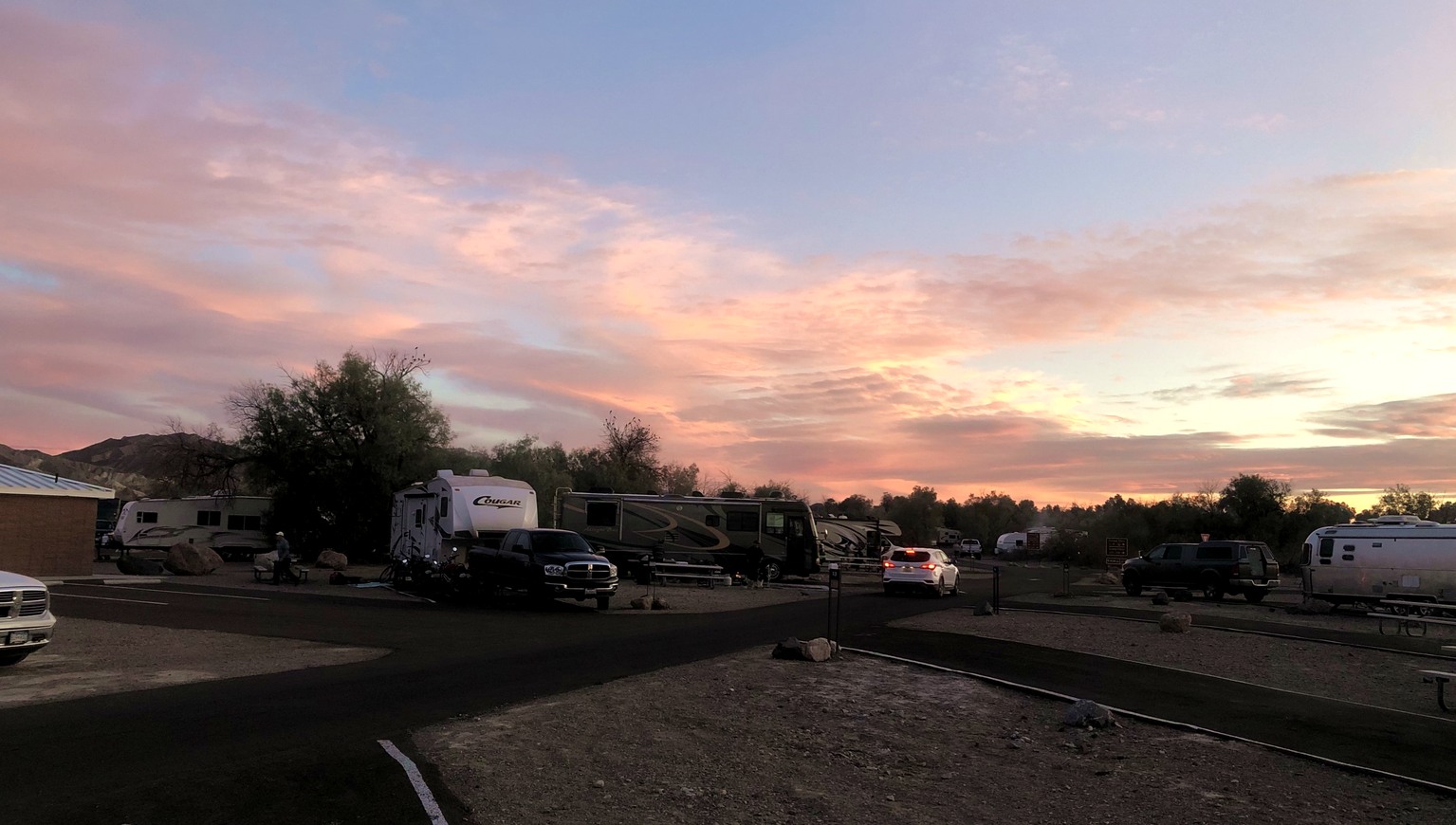
We returned to the campground and enjoyed a beautiful sunset. Unfortunately the combination of clouds and an almost full moon made for poor stargazing.
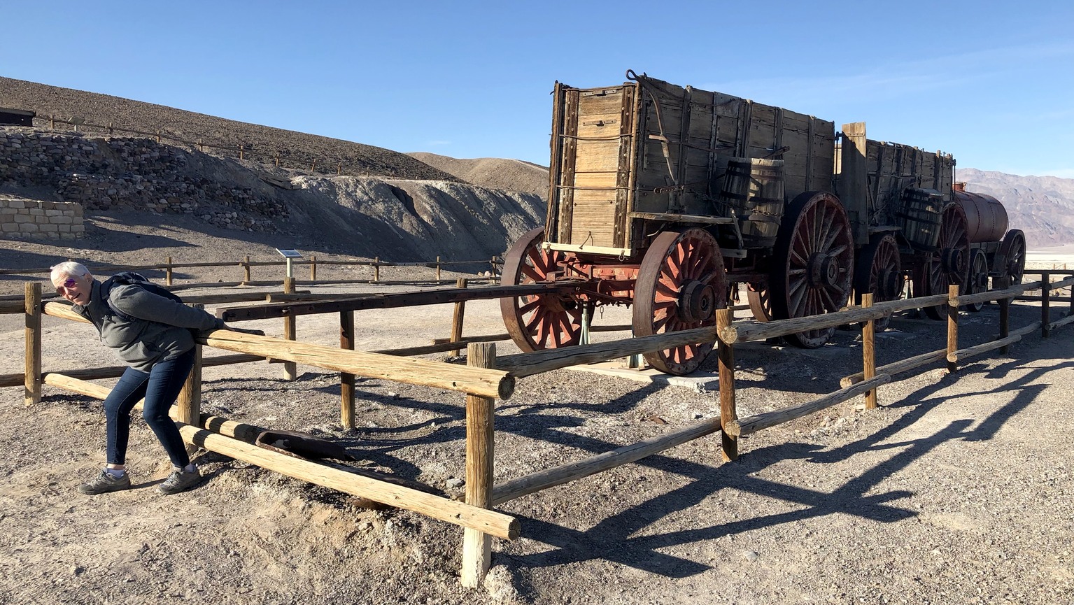
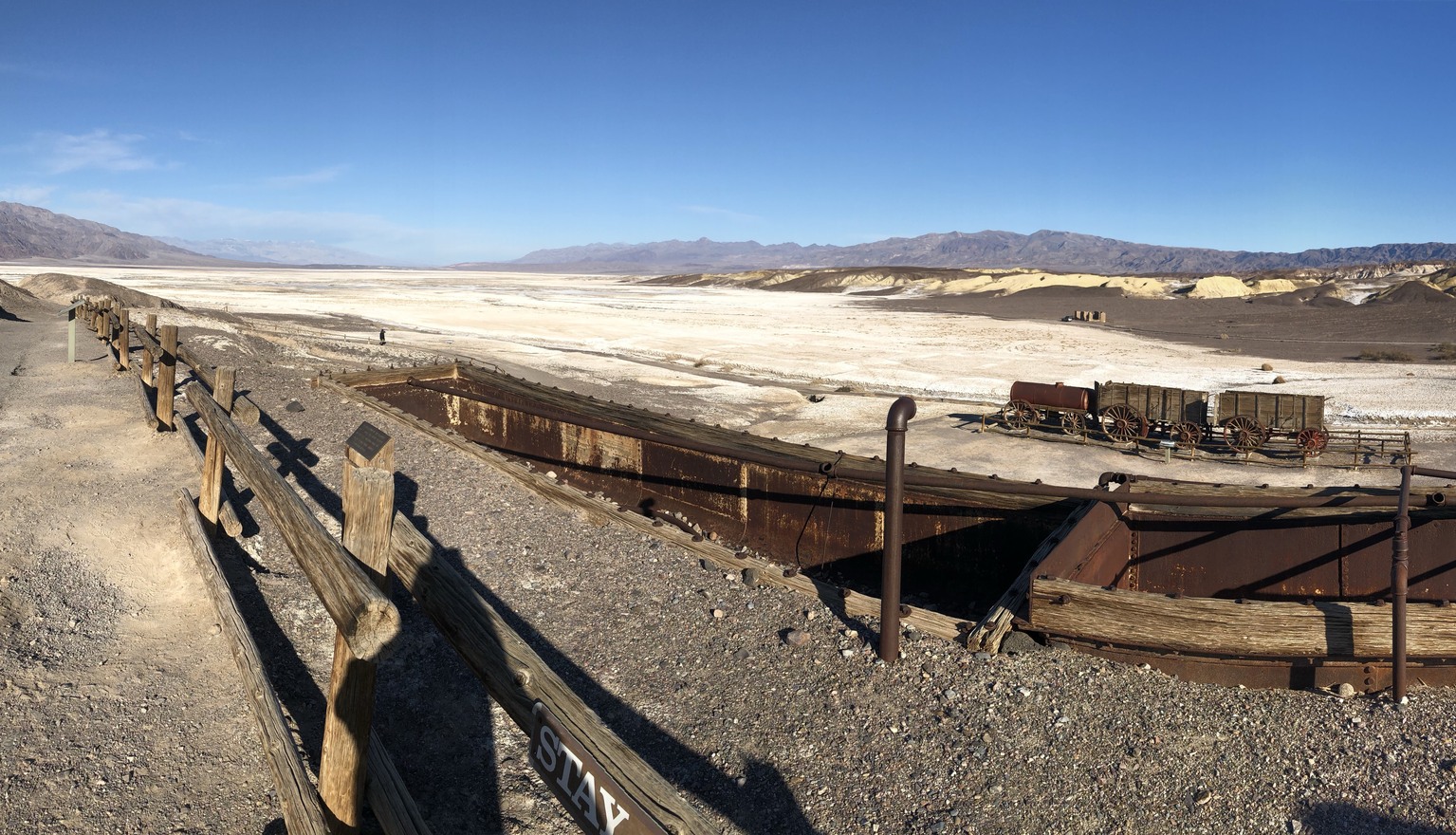
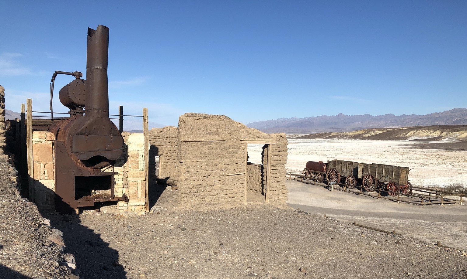
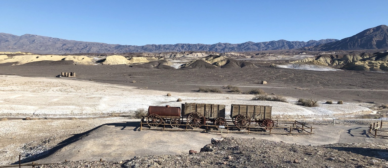
The next morning, we walked from the campground to Harmony Borax Works. Despite the many prospectors looking for gold and silver, the real riches were obtained from borax, which the locals called “white gold”. Mule teams hauled trains of borax wagons and water tanks to the rail depot at Mojave, CA, thus the advertising slogan for “20 mule team borax”. Each wagon weighed 7800 pounds and carried 20,000 pounds of borax. The tanks held 1200 gallons of drinking water for the mules.
Yellow borate deposits in the hills were washed down onto the surface of the basin by heavy rains. Chinese were hired at very low wages to shovel the surface borax into wagons, which were taken to the works. Because of the transportation difficulties, borax was processed and purified at the site. The material was placed in tanks, and hot water was added to dissolve the borax. The hot water was then pumped into crystallizing tanks, where the borax settled out of solution. The works shut down in the summer, because it was too hot to allow the borax to crystallize. Even in winter, cooling blankets were wrapped around the tanks and kept moist to allow evaporative cooling. The Chinese laborers lived in adobe block buildings at the site.
We enjoyed the scenery and the history of Death Valley. We’ll be back after Scotty’s Castle is reopened.